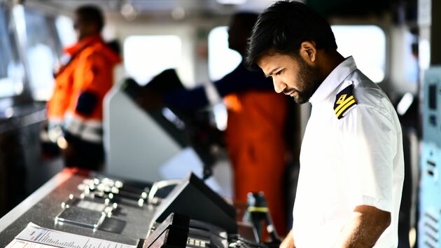
The Authority continuously advances Port Call Optimization initiatives to ensure ship visits operate with maximum safety and efficiency from departure at the previous port through departure from Rotterdam.
A crucial component in this process involves accurate positioning of terminals and berths.
Through collaboration between the Port of Rotterdam Authority and the Royal Netherlands Navy Hydrographic Service, location data for this infrastructure has become significantly more accurate and accessible to all maritime chain participants.
Various port users benefit from this enhancement in both contractual and operational phases.
Now Global Location Numbers, already utilized in the logistics sector, have been integrated into the Harbour Master Management System and the Port Community System Portbase Rotterdam’s core operational systems.
The reliability of this data stems from daily usage by the Harbour Master in notifications, with updates performed twice daily to share dataset changes.
The solution requires port authorities and Hydrographic Services to share location data correctly and in standardized formats.
The Port of Rotterdam Authority has become the first port authority worldwide to achieve this integration successfully.
Nautical service providers such as pilots and linesmen also benefit from standardization. Pilots use identical data on nautical charts as captains, eliminating interpretation differences. Linesmen can determine mooring configurations in advance based on accurate location data.
Beyond location data, the Port Authority aims to map depths and restrictions of terminals and berths in standardized formats.
These three datasets enable assessment of ship suitability for Rotterdam in 99% of cases.
The Port of Rotterdam Authority encourages other port authorities to share their location data with national hydrographic services using the same standardized approach. This solution is highly scalable and globally applicable, potentially revolutionizing maritime navigation accuracy worldwide.


