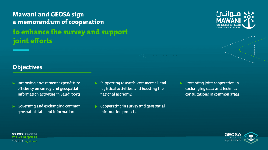

The Saudi Ports Authority (Mawani) and the General Authority for Survey and Geospatial Information (GEOSA) have signed a Memorandum of Cooperation to strengthen mutual engagement in data sharing, technical consultation, research, surveying, and geospatial services.
The agreement was signed in the Mawani headquarters in Riyadh, capital of Saudi Arabia by Omar Hariri, Mawani president, and Mohammed Yahya Alsayel, GEOSA president.
According to the agreement, Mawani will use the Saudi Arabian official map as well as base maps provided by GEOSA as an accredited source for the country’s international land and sea borders, administrative regions, and geographical areas.
The agreement will also aim to improve capacity building and human resource training, as well as organise workshops, conferences, and seminars of mutual interest, as well as co-promote each other’s offerings.
Furthermore, Mawani will provide GEOSA with updated geospatial information, as well as geodetic network data, such as reference points or Continuously Operating Reference Stations (CORS), to consolidate and correct their standards and specifications.
GEOSA, for its part, will provide Mawani with the ability to leverage the national geodetic infrastructure in addition to connecting it to the National Geospatial Platform and allowing it to use the Saudi Arabia National Spatial Reference System (SANSRS) for surveying purposes, provided the national maritime regulator supports the transition process from older to new references.