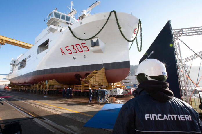
Fincantieri has launched the Italian Navy’s new Major Hydro-Oceanographic Ship (N.I.O.M.), named Quirinale, at its integrated shipyard in Riva Trigoso.
The vessel is designed for scientific mapping and monitoring. It will support the Italian Hydrographic Institute and strengthen Italy’s maritime research and security capabilities.
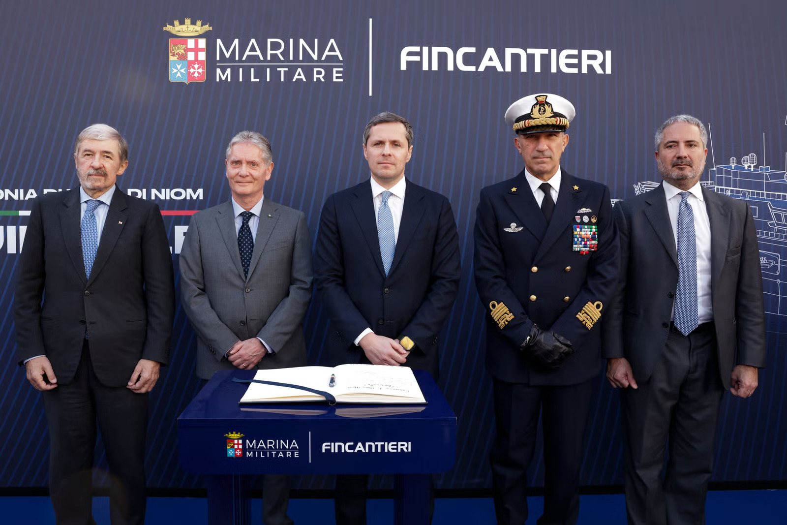
Senior government, Navy and industry leaders attended the ceremony, including representatives from the Italian Ministry of Defence, the Italian Navy, the Liguria Region and Fincantieri. The ship’s sponsor was Eleonora Di Paola, granddaughter of decorated war hero Squadron Admiral Luigi Di Paola.
Built for research and precision
Quirinale is 110 metres long and displaces about 6,000 tonnes. It can carry up to 140 people, including crew and scientists.
The ship uses a low-emission diesel-electric propulsion system, making it suitable for environmentally sensitive waters. It can operate in extreme conditions, down to –16°C.
The vessel is equipped with advanced systems for hydrographic, oceanographic and geophysical surveys. It also carries an autonomous underwater vehicle (AUV) and an unmanned surface vehicle (USV).
A DP2 dynamic positioning system ensures high stability and precision during research missions. Special lifting systems support scientific operations at sea.
Focus on sustainability and safety
Fincantieri designed Quirinale with a strong focus on environmental sustainability. The ship features emission-reduction technologies, an optimised hull, and low-impact materials. The project aligns with Fincantieri’s ISO 14001-certified environmental management system.
Health and safety were also key priorities. The vessel includes dedicated technical solutions to protect personnel throughout its service life.
Strategic platform
“This ship represents technological and industrial excellence in the service of the national interest,” said Pierroberto Folgiero, CEO of Fincantieri. “Quirinale confirms our role as a strategic partner to the Italian Navy in delivering advanced, sustainable and high-performance naval platforms.”
The Italian Navy Hydrographic Institute, which will use the vessel, is the State Cartographic Authority responsible for producing Italy’s official nautical documentation.


